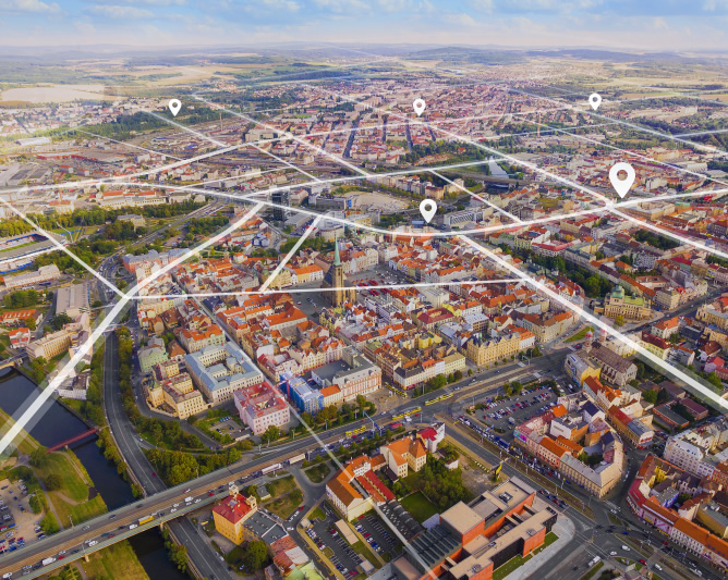
Thanks to its knowledge and long-term experience with technological innovations, the Information Technology Administration of the City of Pilsen (SITMP) launched a project to renew the Geographical Information System of the City of Pilsen (GIS) at the end of January 2024. The project fits into the Smart City concept and the development of Pilsen as a smart city. Pilsen aims to continue to support modern trends due to the computerization of state services, so SITMP took subsequent steps to create a new online Geoportal of the City of Pilsen.
GIS (Geographical Information System) is a place where the city offers maps and special applications to facilitate the lives of its residents. Maps and services also help public administration officials, students, planners, architects, builders, or the general public.
Over the next 16 months, SITMP will be transferring maps and map applications to the new geoportal, implemented by means of ArcGIS Enterprise Sites technology. The project, officially called “Online Gis Services of the Statutory City of Pilsen for the Public”, will cost 26 million CZK in the next five years, co-funded from the EU with 13.5 million CZK. The pilot operation of the new Geoportal of the City of Pilsen is expected to start at the end of May 2025.
Aims of the project:
- To create a new Geoportal of Pilsen and to improve the offer and availability of maps and applications.
- To extend GIS to other areas of IT support for city administration and development, using new functionalities.
- To build a data portal Geodata of the City of Pilsen (repository), interconnected with other agendas and data sources of the city.
Results of the project:
- Creation of a user-friendly Geoportal website (thanks to the newly used ArcGIS technology).
- Acquisition of tools for drone data processing, building interior design, open data generation and bulk data export, tools for working with sensor data, analytics and visualization, and more.
- Upgraded city map portal towards current trends in this area.

-
modern map portal of the city
-
new features and tools
-
linking of city agendas